China plans to launch a satellite to monitor Arctic shipping routes
The new imaging capabilities could improve safety of navigation in the icy waters along Russia’s Northern Sea Route.

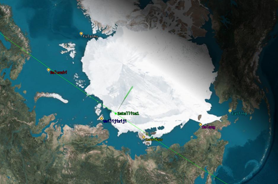
China announced plans to launch a new imaging satellite to monitor Arctic shipping routes. The satellite will employ Synthetic Aperture Radar technology able to observe the Earth’s surface even during night time and through cloud layers or smoke.
The spacecraft will be placed into a sun-synchronous orbit at an altitude of 720 kilometers and produce high quality imagery. At a resolution of 50 meters the satellite can image strips up to 300 kilometers wide.
The project is being jointly developed by China’s Academy of Space and Technology and Sun Yat-sen University, one of China’s top universities. The project represents the first SAR satellite developed by the newly established Joint Research Center for Space-based Observation.
The center’s creation was announced during the Satellite Remote Sensing Forum held at Sun Yat-sen University on December 3.
First Arctic waterway monitoring satellite
The effort represents the Academy’s first waterway monitoring scientific experiment satellite and is expected to launch in 2022. The design of the satellite platform and payload have been finalized, according to Xiao Cheng, Dean of the School of Surveying and Mapping Science and Technology at Sun Yat-sen University.
The satellite’s particular orbit allows it to conduct repeat observations every 48 hours over most of the Arctic. This enables it to observe shipping lanes and Arctic sea ice conditions in near real time.
“This satellite has global observation capabilities, but we focus on Arctic sea ice changes,” says Xiao Cheng.
”Compared with other similar international satellites, this satellite can revisit most areas of the Arctic within 24 hours, with an accuracy of observation. And the frequency will be better than the existing polar satellites.”
Improving ice navigation
According to Cheng, the satellite will improve the safety of navigation for Chinese vessels traveling in the Arctic. It can identify if channels are navigable or blocked by ice and will increase the speed at which vessels can navigate through icy waters.
China’s new monitoring capability, however, is not unique and is available to other countries as well.
“Lots of countries have this capability,” explains Michael Byers, Professor and Canada Research Chair in Global Politics and International Law at the University of British Columbia.
Jun Luo, President of Sun Yat-Sen University, said that the Arctic waterway monitoring scientific experiment satellite is just the first step in deepening the cooperation between his university and the country’s aerospace industry.
The newly established center is expected to expand satellite technology research through joint cooperation between science, technology, and engineering.
Arctic waterways monitoring is not China’s first foray into satellite-based observation of the region. The country launched the Jingshi 1 (Ice Pathfinder) satellite, a micro satellite weighing just 10 kg, in 2019 to track iceberg thaw rates.
That satellite is able to cover the entire Arctic every seven days, compared to the two days by the now-announced monitoring satellite. Since its launch Jingshi 1 has taken over 2,500 images of the two polar regions.