Current NPR-A plan makes sense for both wilderness and oil development

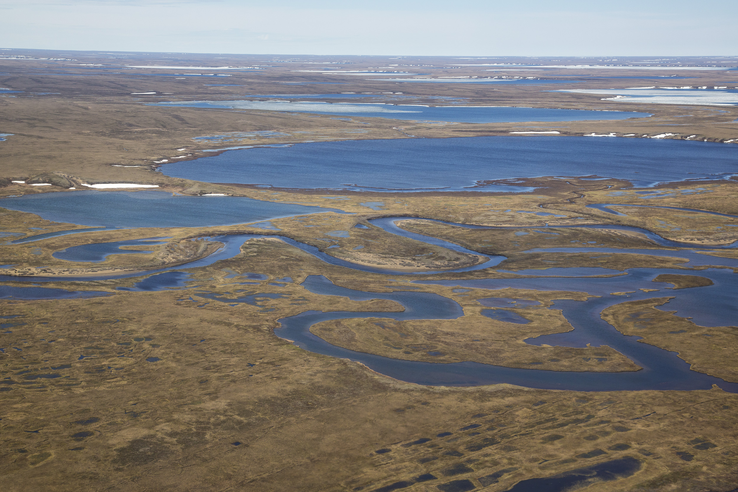
In the glow of the midnight sun, we’re paddling down the wild Utukok River in the National Petroleum Reserve-Alaska. Here, the wilderness swallows you, from the sweeping tussock grasslands, to the never-ending ridges that flow across the open landscape.
Caribou trails stitch the tundra as far as the eye can see. Wolf tracks lace the sand bars. A bear tears apart a caribou carcass on a distant ridge. This region has the highest concentration of grizzlies and wolverines on the North Slope, along with Alaska’s largest caribou herd — the Western Arctic.
Such a big landscape exceeds the definition of vast. The NPR-A is the size of Indiana, 23 million acres that includes numerous wild rivers, countless ponds, rolling foothills, lofty peaks of the Brooks Range, and tundra plains that stretch from the mountains to the Beaufort Sea for 200 miles.
It is the largest swath of public land remaining in our nation — wild, remote and most of it roadless.
[Should all of NPR-A be on the table for oil development?]
Since its establishment in 1923 as the Naval Petroleum Reserve No. 4, the reserve has seen spotty oil exploration by the Navy, several commercial lease sales in recent decades, and a growing need for a good management plan.
After several years of research, planning, meetings, and listening to key stakeholders — tribal councils, scientists, sport-hunters, industry, government agencies, conservation groups and the public-at-large — the U.S. Bureau of Land Management adopted a balanced “integrated activity” plan for the reserve in 2013.
The activity plan established five special areas to protect wildlife and subsistence values, including the Utukok uplands and the mosaic of wetlands that surround Teshekpuk Lake, a biologically rich area that is incredibly important to many species of shorebirds and water birds.
The Teshekpuk Lake special area provides habitat for tens of thousands of molting geese, threatened spectacled eiders, yellow-billed loons, denning polar bears and the 40,000-head Teschekpuk caribou herd.
Approximately 11 million acres were wisely set aside for conservation, off limits to oil and gas leasing. The remainder of the reserve, more than 11 million acres (the size of New Hampshire and Massachusetts combined) was made available to industry through annual lease sales, initiated under President Barack Obama’s administration.
A number of recent oil discoveries and developments are in progress in the northeast corner of the reserve: Greater Mooses Tooth No. 1 and No. 2, and the recent Willow and Smith Bay discoveries.
On the doorstep of the reserve is the Nanushuk development located on adjacent state land along the Colville River, not far from the giant Alpine and Kuparuk oil fields. There’s a lot on the plate when it comes to Slope opportunities for industry through annual state and federal lease sales — tens of millions of acres.
Given the size of the reserve, there is plenty of room to protect significant natural values and the subsistence interests of the Inupiat. At the same time, we should keep in mind that with climate change, the more oil we keep in the ground, the better for the environment and for at-risk creatures like polar bears and seals.
[Conservation groups prep for battle over drilling in NPR-A]
BLM has created a management plan that, while not perfect, has set aside five areas of exceptional wildlife and subsistence values while still allowing oil development to move forward in the reserve. The activity plan allows continued oil and gas leasing in promising areas, with stipulations to protect the wildlife and minimize adverse impacts to the land.
A plan that took years to create and generated more than 400,000 public comments should not be thrown out the window at the whim of a new administration.
Yet, President Donald Trump recently ordered the U.S. Interior Department to disregard this good plan, and consider opening the entire reserve, including the biologically sensitive special areas, for possible oil and gas leasing.
Every single acre could be up for grabs.
The public is invited to comment about this new carte blanche approach to managing the reserve, an approach that disregards a long public process and the adoption of a reasonable plan for conservation and resource development.
Comments must be postmarked by Sept. 6 and sent to: Bud Cribley, State Director, Bureau of Land Management – Alaska State Office, 222 W. Seventh Ave., Mailstop 13, Anchorage, AK , 99513.
Debbie S. Miller has explored the Arctic for many years. She is the author of “On Arctic Ground: Tracking Time Through Alaska’s National Petroleum Reserve” (Braided River, 2012).
The views expressed here are the writer’s and are not necessarily endorsed by Arctic Now, which welcomes a broad range of viewpoints. To submit a piece for consideration, email commentary (at) arcticnow.com.