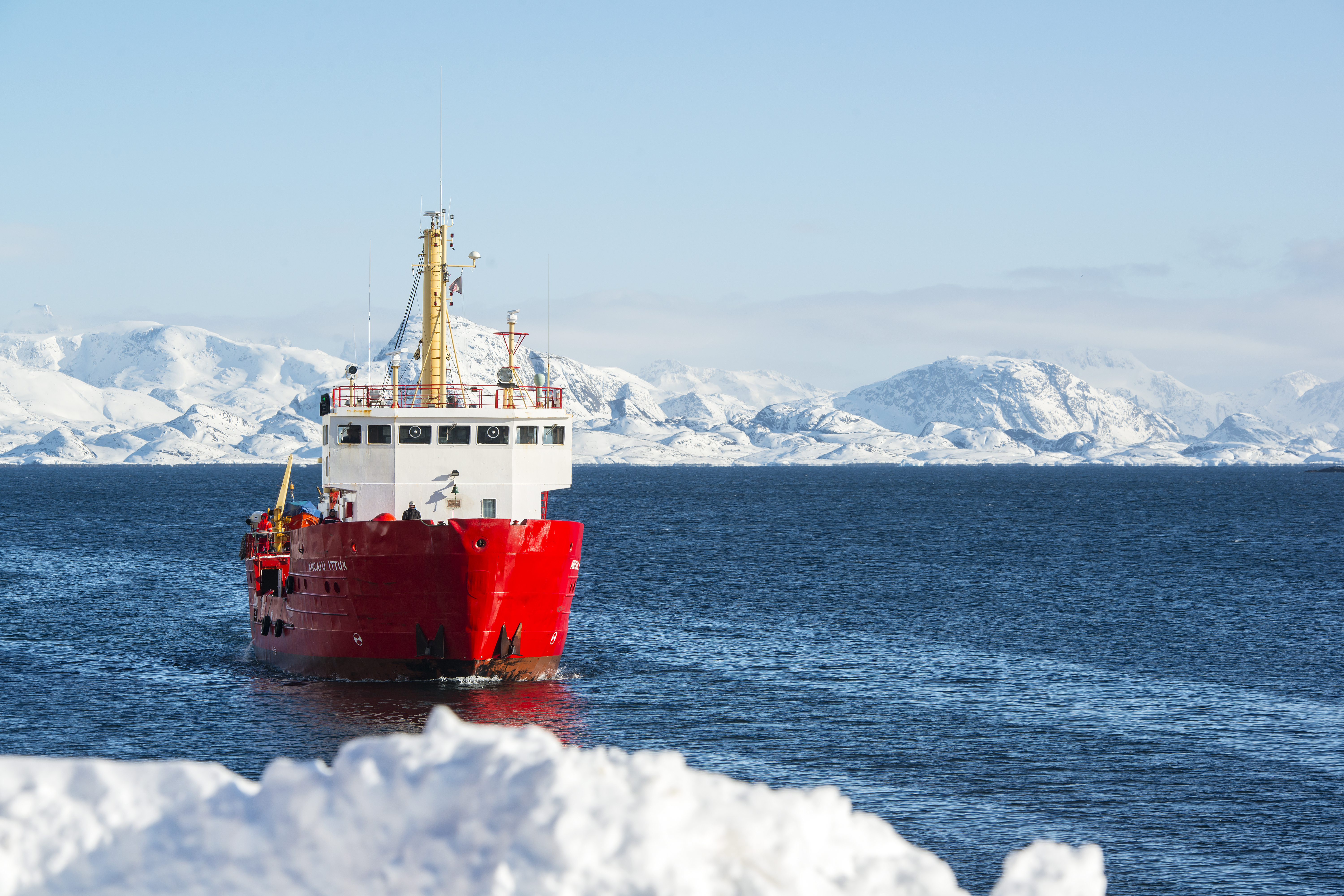
Denmark downplays concern over delayed Greenland maps

Mariners in Greenland will have to wait until sometime next year to find out when Denmark will be able to complete production of a full set of GPS-compatible navigational charts, creating a situation that some members of the Folketing, the Danish national assembly, say increases the risk of an accident at sea.
So far, 32 charts have been converted from paper to a digital format that is compatible with satellite navigational systems. Production began in 2009 and was due to be completed this year. However work on the remaining 41 was halted in 2015.
Now, after 14 of the 15 employees of the Danish mapping agency conducting the work quit rather than move with their office, some 250 kilometers away from its previous location, the agency has been unable to put an end date on the process.
Earlier this year, 2020 had been suggested as a potential date, but training of the replacement employees, who have now been hired, is unlikely to be completed before then.
Speaking to the Folketing’s Greenland Committee yesterday, Lars Christian Lilleholt, the cabinet member responsible for the mapping agency, said that by the end of this year, the remaining maps would identified by order of priority, and by 2018 a deadline for when each one was to be finished would be set.
“The important thing isn’t that we produce maps,” Lilleholt told the Greenland Committee. “The important thing is that we produce maps of the highest quality. It’s important that put our full attention to this. This is something that needs to be done properly.”
He underscored that paper maps of the entire area continue to be produced, and that they could be used to navigate Greenlandic waters safely.
He also cited figures from the Danish maritime safety authorities finding that no maritime accidents in Greenland in the past six years have been caused by deficient maps.
However several committee members worried that the lack of digital maps, combined with the age and imprecision of the existing maps, which are often based on historical data, was a safety risk for local mariners and for the increasing number of commercial and cruise vessels sailing in Greenlandic waters.
Their concerns are supported by both the Danish Arctic Command and the Folketing’s auditor-general, who warn that the lack of modern maps is likely to lead to maritime accident at some point.