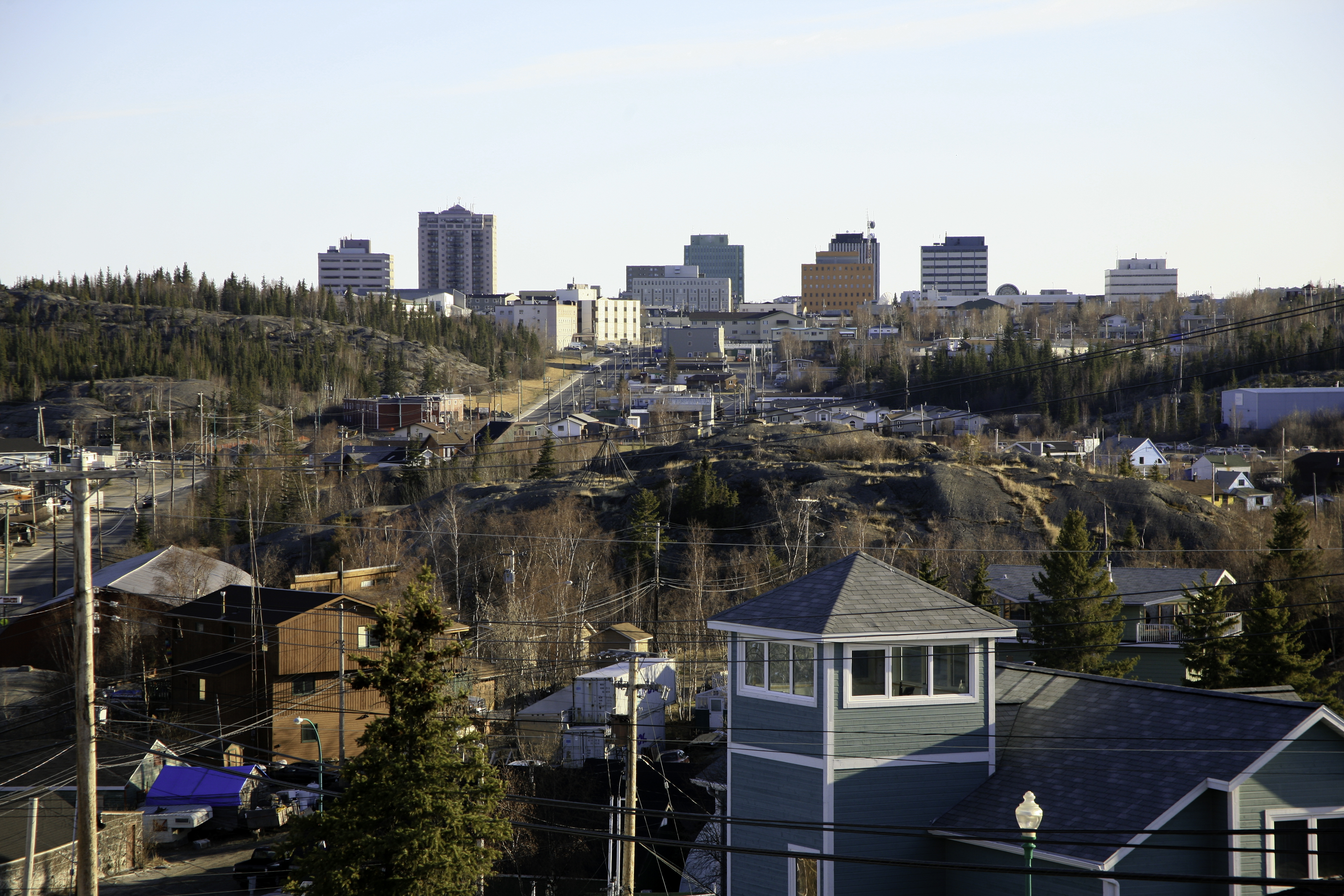
NWT, Nunavut promote road corridor from Yellowknife to the Arctic Ocean
Within 15 years, you may be able to drive from the Northwest Territories capital of Yellowknife right up to Grays Bay on western Nunavut’s Arctic coast.
The road would run 550 kilometers (about 340 miles) from Yellowknife to the NWT-Nunavut boundary, where it would link up with a 350-kilometer (roughly 220-mile) road that would terminate at a deep water port on Coronation Gulf, close to Kugluktuk to the west and Cambridge Bay to the north.
Along the way to the port, there would be spur roads leading off to mines.
That’s the vision promoted by two speakers April 5 at the Nunavut Mining Symposium in Iqaluit.
The GNWT has already looked at three road options for its part of the road, which it calls the Slave Geological Province Access Corridor, using geological and mineral data to guide the road’s path.
The goal of this exercise was to see which option for an all-season road north would be the most likely to succeed by being able to “stimulate new mineral growth,” said Deborah Archibald, the GNWT’s assistant deputy minister of mineral and petroleum resources.

The option now favoured by the GNWT would lead from Yellowknife through the Tli Cho region up into the Great Slave belt—from Tibbett Lake to Lockhart Lake, then from Lockhart Lake to Lac de Gras, then from Lac de Gras up to the Nunavut boundary.
After the project enters an environmental review, the road could be built over a five-to-10 year period, likely during the winter, much like the Inuvik to Tuktoyaktuk road, Archibald said.
From the NWT border with Nunavut, the road would then link to the Jericho mine and, from there, follow a 233-km road to the Grays Bay port, a project on which the Government of Nunavut and the Kitikmeot have teamed up.
The Grays Bay Road and Port promoters are seeking $365 million of the project’s $487 million cost from Ottawa, although with no commitment yet, “it remains to be see where the money will come from, ” said KIA President Stanley Anablak during the session called “Moving Forward on Infrastructure.”
The investment will be well worth it, Anablak said, because there’s $47.9 billion in untapped mineral potential in the area.
Anablak said he’s expecting news about federal funding soon—and he added that, by the end of April, the GN and KIA plan to file the Grays Bay Road and Port Project proposal with the Nunavut Impact Review Board, as Premier Peter Taptuna also suggested April 4 at the mining symposium.
Road users are expected to cover the $122-million construction shortfall, with the GN ready to step in to cover the debt, if necessary, Anablak said.
The Nunavut Resources Corp.—a wholly-owned subsidiary of the KIA—would build and own the road and port in a partnership with the GN.
The KIA, thanks to a change in federal policy last year, is now eligible for large amounts of federal infrastructure money through the P3 Canada Fund and the New Building Canada Fund.
The GNWT is also looking for a P3 partnership to finance their road, Archibald said in her presentation.
A big review report on Canada’s transportation system, tabled in February 2016 in the House of Commons, urged that Ottawa support development of the Grays Bay road and port and the all-weather weather road from Yellowknife to the Arctic coast.
“Finally, development of the Coronation Yellowknife Corridor is recommended, as it would tie together a number of mining projects and provide a deep-water port in the central Arctic,” said the Transport Canada report.
The federal report said full development of the corridor would require federal spending of $1.89 billion and could lead to an estimated $39.49 billion in resource development expenditures— a figure less than that cited by Anablak.
But that national transportation review, headed by former cabinet minister David Emerson, said the Grays Bay section of that corridor should get “immediate” support.