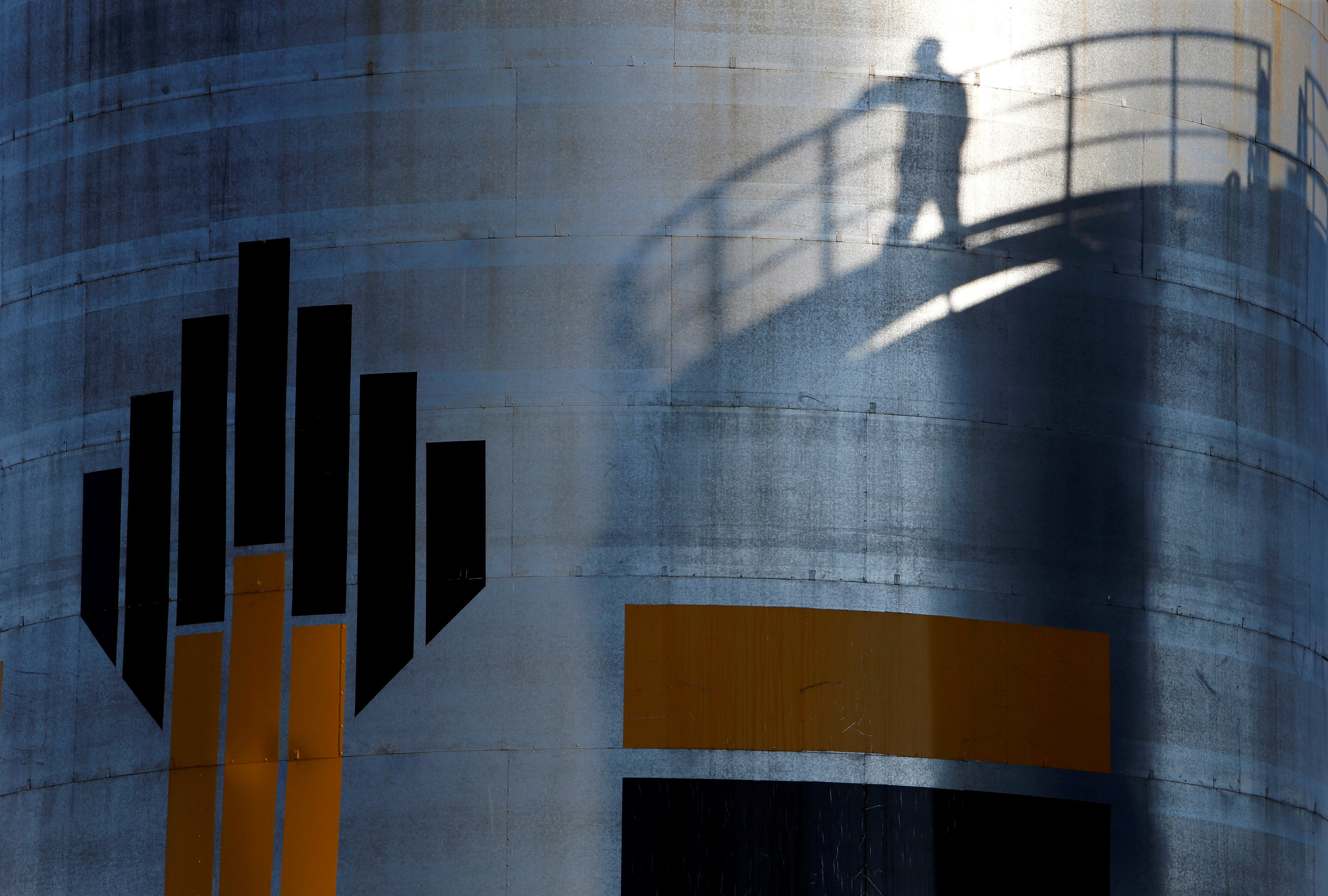
Rosneft, Gazprom map new Arctic resources

Russian oil company Rosneft recently confirmed that it has started mapping of four license areas in the Pechora Sea. In the course of the year, at least 1,600 square kilometers of 3D seismic studies and 5,400 kilometers of 2D seismic studies will be conducted in license areas Pomorsky, Russky, Severo-Pomorsky-1 and Severo-Pormorsky, the company said.
The studies will allow the company to develop a geological strategy for the area, according to a press release.
A seismic vessel accompanied by to support ships will be engaged in the work.
Meanwhile, Gazprom also announced seismic mapping of new Arctic areas. In a tender, the company seeks an operator of seismic operations at its Amderma license area. The tender has a value of 1.1 billion rubles and includes 3D mapping of a 1,875-square-kilometer area, Neftegaz reports.
The operations are to be conducted between July 21 – October 15 next year.
Gazprom acquired the Amderma license area in 2013. It was obtained along with several other nearby licenses, among them the Nevsky, Obruchevsky, Severo-Kharasaveysky, Zapadno-Sharapovsky, as well as Leningradsky licenses.