NASA’s temporary ice-observation mission is going stronger than ever

If Greenland’s ice sheet were to disappear entirely some day, it would reveal the world’s longest canyon, stretching northward some 750 kilometers (about 470 miles) from the center of the island. We know this thanks to observations made by Operation IceBridge, which has been operated by the U.S. National Aeronautics and Space Admiistration since 2009.
It is ironic that one of the most memorable findings of the mission is what is under the ice, not, as is its reason for being, the state of the ice itself. This is an objective that, in the nine years and counting the operation has been running, has become increasingly important as the pace at which land and sea ice is disappearing accelerates. Starting in 2015, it led NASA to expand how much time Operation IceBridge is in the air. This year it adds new territory.
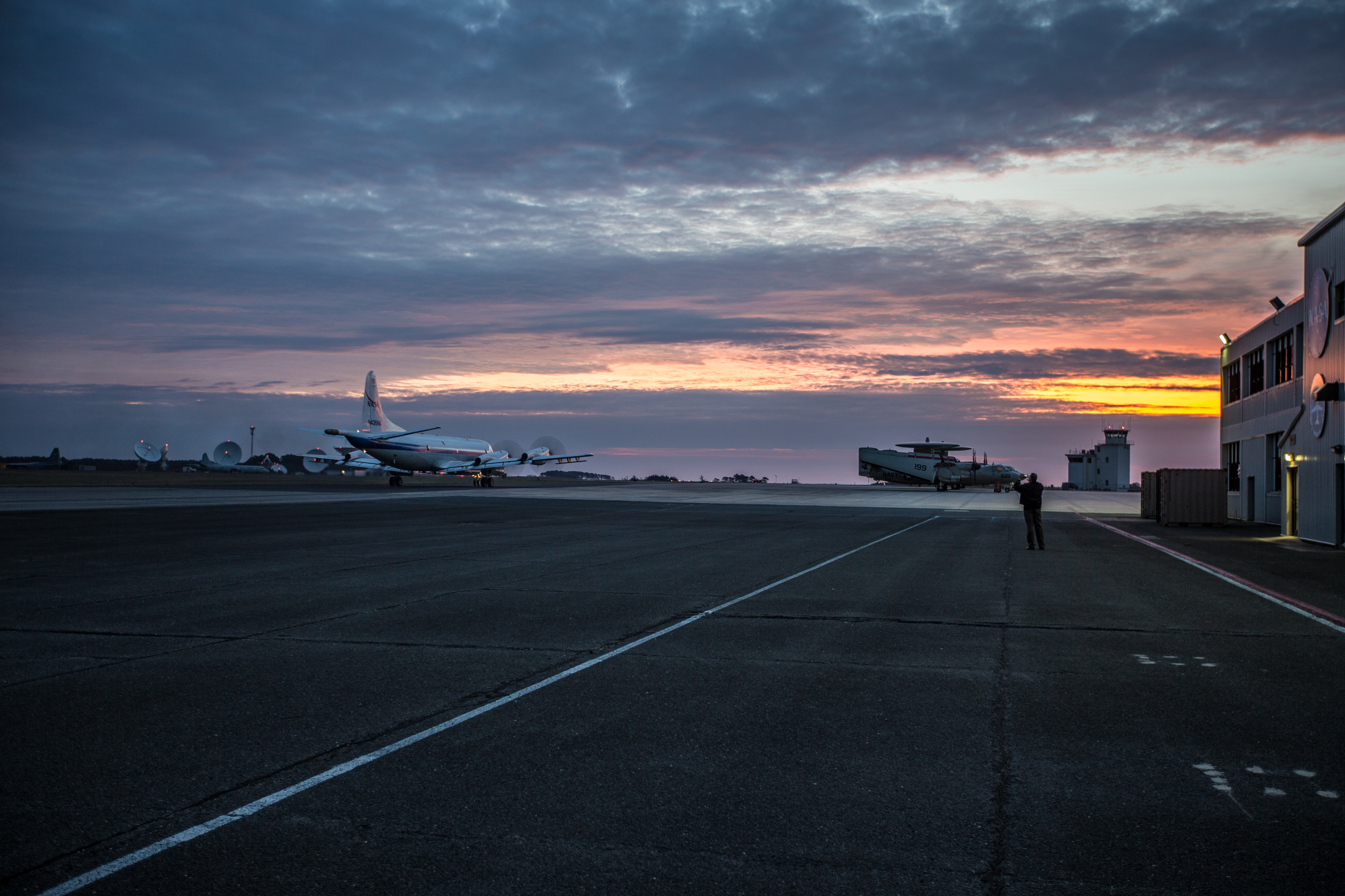
Operation IceBridge takes its name from the fact that it is a temporary mission, spanning the gap between the loss of ICESat, a satellite, in 2010, and the expected launch of ICESat-2, initially planned for 2016, but now not expected to be airborne until 2018.
ICESat, short for Ice, Cloud and Land Elevation Satellite, began measuring polar ice in 2003. When a malfunction put the satellite out of commission, Nasa responded by using aircraft to allow it to continue to gather information about ice in the Arctic and Antarctic.

Not having satellite coverage means Nasa must be more frugal when making ice observations. From its inception, Operation IceBridge alternated missions over the Arctic and Antarctic, flying during the spring in each hemisphere.
Last year, Operation IceBridge ran its second autumn season in the northern hemisphere. Flying two missions, according to Joe MacGregor, Operation IceBridge’s deputy project scientist and a glaciologist, gives scientists the chance to compare changes in sea ice within the same year, something that has become increasingly important.
“Now we’re starting to complete the picture of what happens to them as the year goes on, especially after most of the summer melting has already occurred, so we can measure their cumulative response to that melt,” MacGregor said in a NASA statement.
Similar thinking has gone into the decision to add flights from Svalbard during the current spring mission. Adding a fourth departure point for missions (flights are already based out of Thule and Kangerlussuaq, in Greenland, and Fairbanks, Alaska) is expected to give Operation IceBridge its most detailed coverage of sea ice ever by expanding its area of operations to the east for the first time.
Flights from Svalbard began on March 9, with flights to the North Pole, marking the start of information gathering that will continue until May 12.
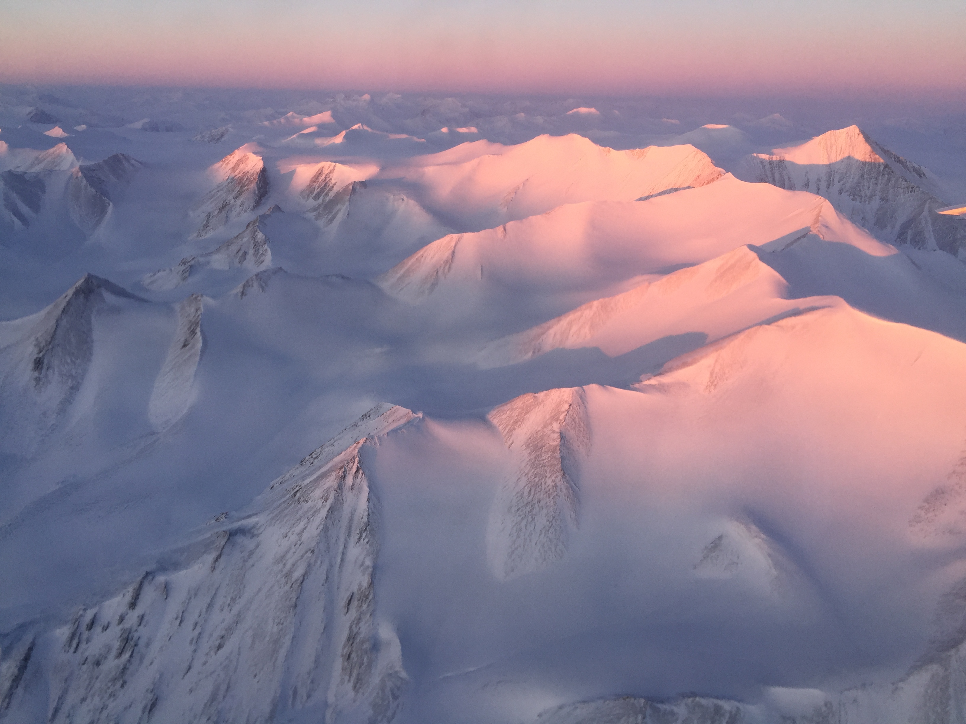
As with the flights from Greenland, the primary mission of the Svalbard flights is sea ice, but Operation IceBridge will also turn its instruments on Svalbard’s glaciers. Over the ocean, Operation IceBridge hopes to find out how sea ice in the Eurasian Basin of the Arctic Ocean is changing, and how it compares to the Amerasian Basin, which scientists know far more about.
According to Ron Kwok, a sea-ice specialist on the IceBridge team who will be most interested in snow cover on sea ice in the Eurasian basin, the flights will be the first chance to collect information from the area since 1991, when drifting stations that operated there beginning in 1954 went out of service.
“When those surveys were done, we still had a lot of thick sea ice in the Arctic,” Kwok said in a NASA statement. “Now it’s mostly thinner, first-year ice, so the snow we’re going to see on top is going to be different than what was there before.”
While satellites can provide constant, year-round data collection over a huge area, lower-altitude, manned missions are not without their merits.
In addition to being able to dwell on specific, high-interest areas, airplanes can change their plans on shorter notice, or even take part in other missions, as was the case in 2015, when, in the first flight of the year on March 19, IceBridge scientists flew over Lance, a Norwegian research vessel intentionally set adrift in sea ice. The purpose (in addition to a good photo-op) was to gather information about the same area using surface and aerial observation and then compare the results.
Given their size, planes can also carry a wider array of equipment, some of which has an easier time penetrating snow cover, which makes it possible to get a more accurate picture of how thick land and sea ice is.
As the results from Greenland show us, they can also also penetrate the ice itself. That, among other things, allows us to glimpse the world Operation IceBridge is working to prevent us from seeing with our own eyes.