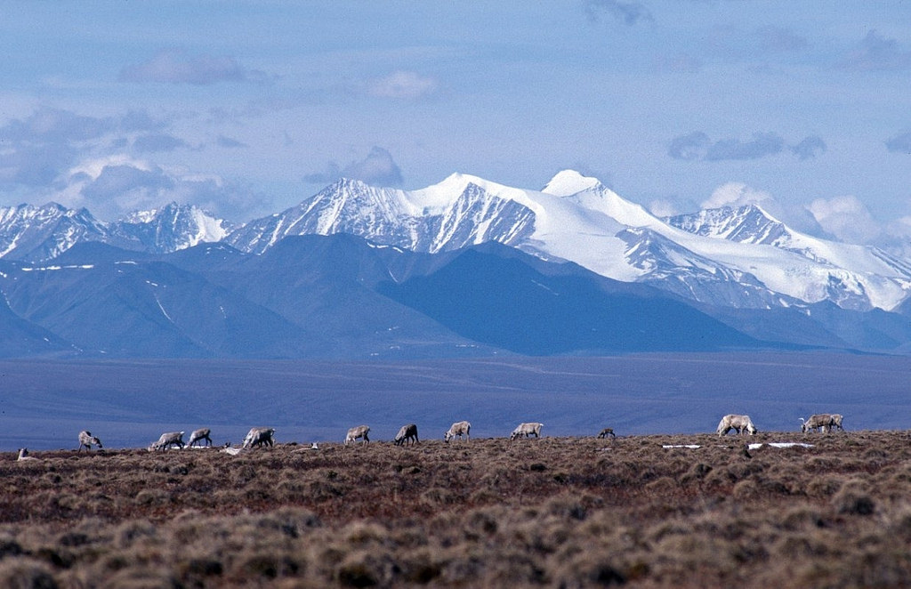
With an on-the-ground seismic survey delayed, a new plan emerges to study Arctic refuge oil potential from the sky
Aerial surveys could reduce some — though not all — of the impacts of exploring the Arctic National Wildlife Refuge's geology.

A controversial plan for on-the-ground seismic surveys of the potentially oil-rich Arctic National Wildlife Refuge coastal plain has not yet moved forward.
In its place, the Canadian unit of an international geosciences company is proposing to examine the area’s hydrocarbon potential by air.
CGG Canada Services Inc., a unit of Paris-based CGG, has informed the U.S. Department of the Interior of its intent to fly over the refuge’s 1.6 million-acre coastal plain to collect geophysical data in the area where the Trump administration is planning a lease sale by year’s end.
CGG uses gravity gradiometry technology, which measures minute changes of surface gravitational qualities to use as clues to subsurface structures.
The company may proceed with its plans without getting any federal permits, Interior officials said.
“DOI does not have the authority to require a permit for airborne geophysical data collection that have no ground component on federal lands,” Molly Block, Interior’s press secretary, said in an email.
In an April 23 letter to CGG, the U.S. Bureau of Land Management’s Arctic district office manager advised that low-lying lights might disrupt caribou gathered in the area or cause polar bears and other marine mammals to flee. The letter suggested that CGG to get a permit from the U.S, Fish and Wildlife Service allowing incidental harassment of polar bears.
However, that information was merely advisory, Block said. “FWS and BLM gave the company guidelines for best practices to mitigate potential impacts to terrestrial and marine mammals and migratory birds,” she said by email.
In a June 7 letter to CGG’s Canada Service’s David Miles, a coalition of environmental groups criticized the plan, saying the “noisy, low-altitude, high-density aerial surveys” would likely disrupt seals and polar bears, animals shielded by the Marine Mammal Protection Act. If CGG follows through with the aerial survey plans — which would likely require 15 daily flights with aircraft no more than 2,000 feet above the ground — the company should obtain incidental harassment permits, the environmental groups said.
The company should reconsider the whole plan, the letter said.
“The Coastal Plain is no place for oil and gas exploration and development. We strongly urge your company not to move forward with any aerial geophysical surveys on the Coastal Plain. To the extent CGG nevertheless moves forward, it should seek incidental take authorizations to ensure compliance with the MMPA and its protective purposes,” the letter said.
In a separate June 7 letter to Chad Padgett, Alaska state director for the BLM, the environmental representatives criticized the administration for its hand-off approach. Interior’s failure to regulate the planned overflights or even provide convincing evidence that it lacks the authority to regulate “is deeply troubling,” the letter said. Noise from the overflights is likely to combine with other disruptive activities Interior is planning to allow within the refuge, and lack of regulation leaves the public in the dark about what is happening, the letter said.
The CGG plan comes after work stalled on an application by SAExploration and two Native corporation partners to conduct an extensive 3-D seismic survey of the coastal plain, known as the 1002 Area. That seismic survey was to be the first detailed on-the-ground study of hydrocarbon potential in decades; the last such survey was conducted using older and less-sophisticated two-dimensional technology.
That seismic plan calls for noise-generating “thumper” vehicles to crisscross the coastal plain in a tight grid pattern, sending sound waves into the earth to help map out geologic structures. The plan has been panned by environmentalists and scientists. In a white paper issued in January, veteran University of Alaska Arctic experts detailed several reasons why a seismic survey of that sort would be damaging – the wind-scoured snow cover, over a sloping and uneven, creek-cut terrain, is inadequate to support heavy vehicles; the permafrost is highly ice-rich, making it more vulnerable to disturbance; the noise from industrial operations could scare mother polar bears out of their dens, leaving abandoned cubs to die; the tundra is unlikely to recover from such activities, causing accelerated permafrost thaw along long-lasting seismic tracks; seismic technology has not advanced sufficiently to be reliably safe in such conditions. Additionally, there is a risk that some polar bear dens would be crushed by heavy vehicles, with the animals inside killed, according to an analysis by Steve Amstrup, chief scientist for Polar Bears International.
That SAExploration plan has yet to win an authorization from the Fish and Wildlife Service for disturbances to polar bears. SAExploration had planned to start the survey last winter but now has an application pending for a seismic survey to start next winter.
That application remains active, Block said. “BLM and FWS are continuing to work with the applicant on a proposed program for this winter,” she said by email.
CGG did not respond to inquiries about its ANWR plan.
The company has done similar work previously in Alaska, conducting aerial surveys in the Cook Inlet region for Hilcorp Energy Co.
It also has previous experience with controversial surveys aimed at evaluating hydrocarbon potential. CGG was among several companies granted authorizations late last year from the National Oceanic and Atmospheric Administration to do surveys in the Atlantic Ocean. Environmental groups have sued the Trump administration to overturn those authorizations. The case is pending in U.S. District Court in South Carolina.